2019 Civil War Travelogues — Battle of Antietam with BGES
Welcome to my 2019 travelogue pages. This is my report on the Blue and Gray Education Society tour of the Battle of Antietam. I have been to the Antietam battlefield a number of times, but wanted to catch this (relatively short) tour because of the guide lineup: Scott Hartwig and Tom Clemons. I took all of the photos below with my new iPhone 11 Pro—not a lot really because of my many visits. This was my 17th BGES event, but the first in which my friend Len Riedel wasn’t leading the festivities. Gloria Swift was our leader, too polite to be a direct substitute for Len. To see the entire list of my 2019 trips, go here.
| Here is a reminder about the reason I write these pages the way I do. They record my experiences and impressions of Civil War trips primarily for my future use. Thus, they sometimes make assumptions about things I already know and focus on insights that I receive. They are not general-purpose descriptions for people unfamiliar with the Civil War, although I sometimes link to various Wikipedia articles throughout. Apologies about the quality of interior photographs—I don't take fancy cameras with big flashes to these events. If you would like to be notified of new travelogues, connect to me via Facebook. |
Friday, October 25 — to Maryland
I flew United to Dulles, rented a car, and reached the HQ hotel outside Frederick, the Fairfield Inn and Suites, in time for a 6 p.m. intro lecture by Scott and Tom. They gave us a good overview of the two armies—order or battle, strengths, and key figures. A few takeaways: Lee is said (by Longstreet) to have issued orders directly to the divisions, bypassing the wing commanders, Longstreet and Jackson. The Union advantage in manpower was notable, but not the overwhelming figures that some historians portray; it was less than two-to-one, which is not usually enough for an attacking army to be confident. Scott thought Hooker was the best corps commander fighting, Sumner the worst. Artillery was a big advantage for the Union army and they delivered crushing blows to their Confederate counterparts.
Saturday, October 26 — Antietam
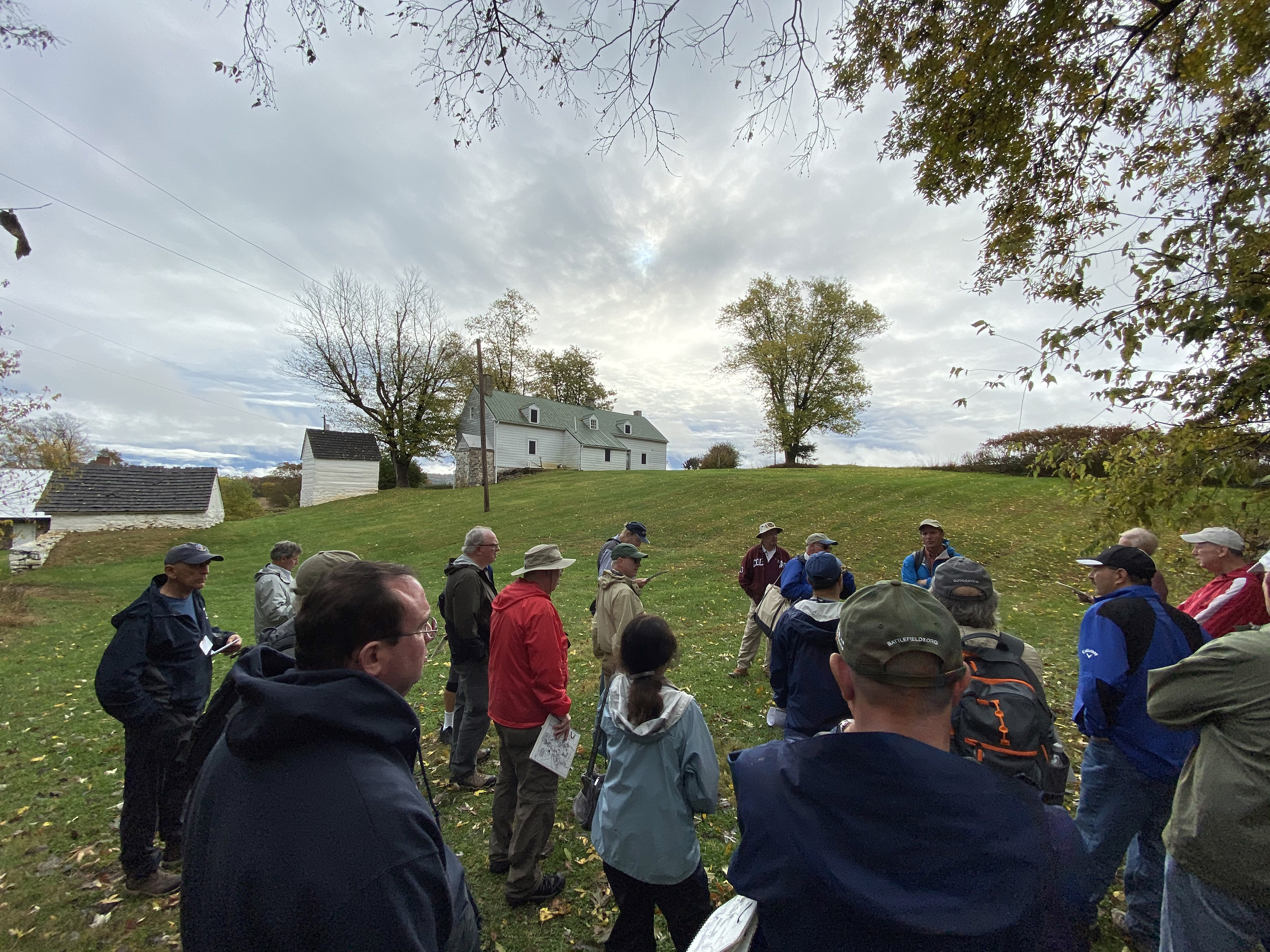
It’s a 40-minute drive to Antietam and we had the luxury of three vans, so none of the 27 attendees were very crowded. Our first stop was the Pry House, where we examined how the US set up its long-range reserve artillery. Since we were close to where Lee initially surveyed the battlefield on the 15th, we discussed his motivations in committing to a very risky battle (primarily political). Tom told us that, despite the big NPS sign, the Pry House was not the HQ of the Army of the Potomac, which was in Keedysville.


We crossed the Upper Bridge to follow the route taken by Hooker’s I Corps before the battle. On the Smokestown Road we stopped in the Poffenberger Woods where Ricketts’s division bivouacked. (I had never traveled the whole length of this road, so it was a new experience!) Then a brief logistical stop at the visitor center before going to the Joseph Poffenberger farm. We walked the NPS’s Cornfield Trail and discussed Hooker’s attack and the start of Mansfield’s (XII Corps) attack, including the uncertainty of the location of his mortal wounding early in the battle. We had bags lunches from the Battleview Market (a long-time favorite of mine), which we consumed in an open pavilion in a Keedysville park.

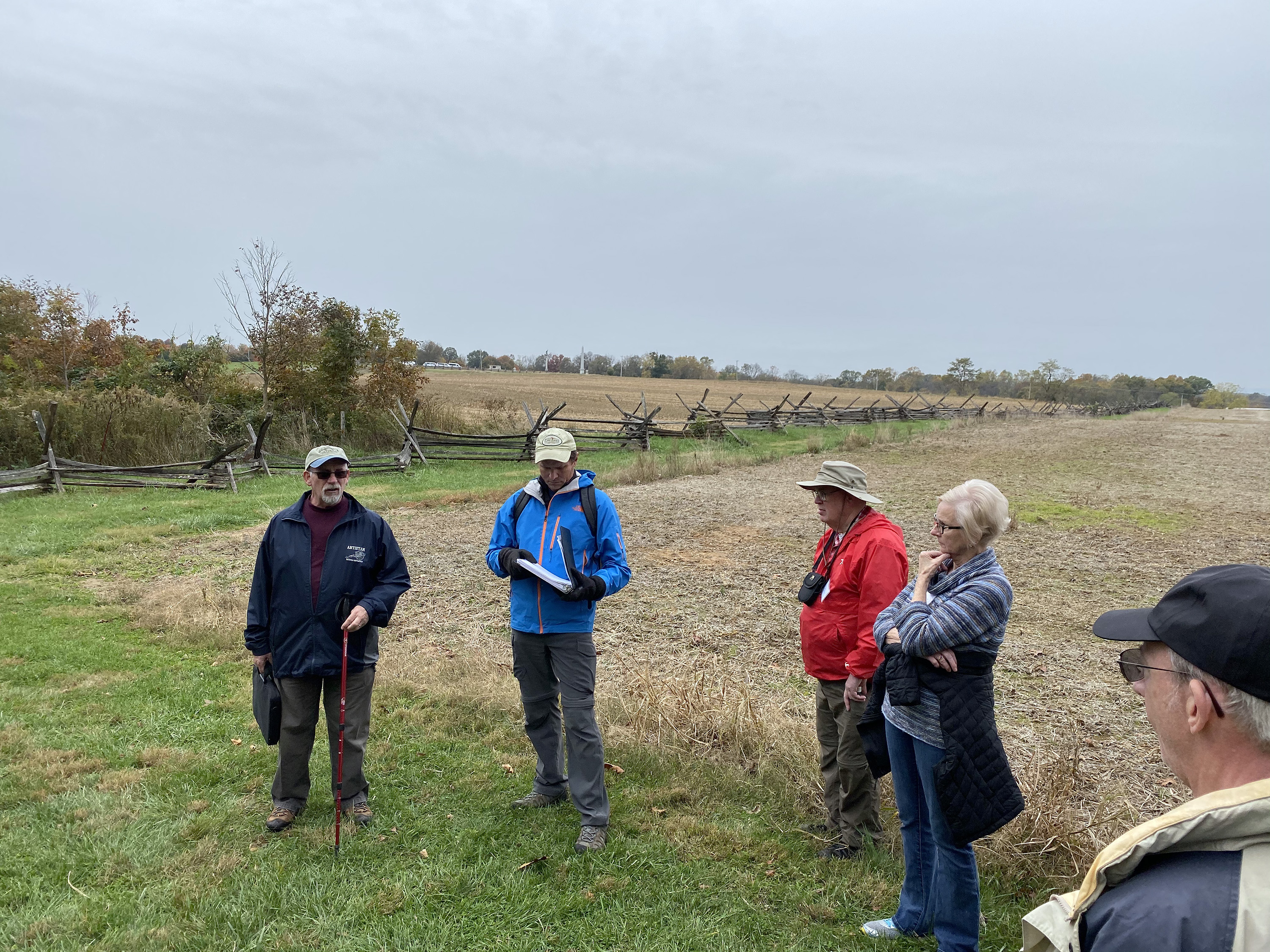

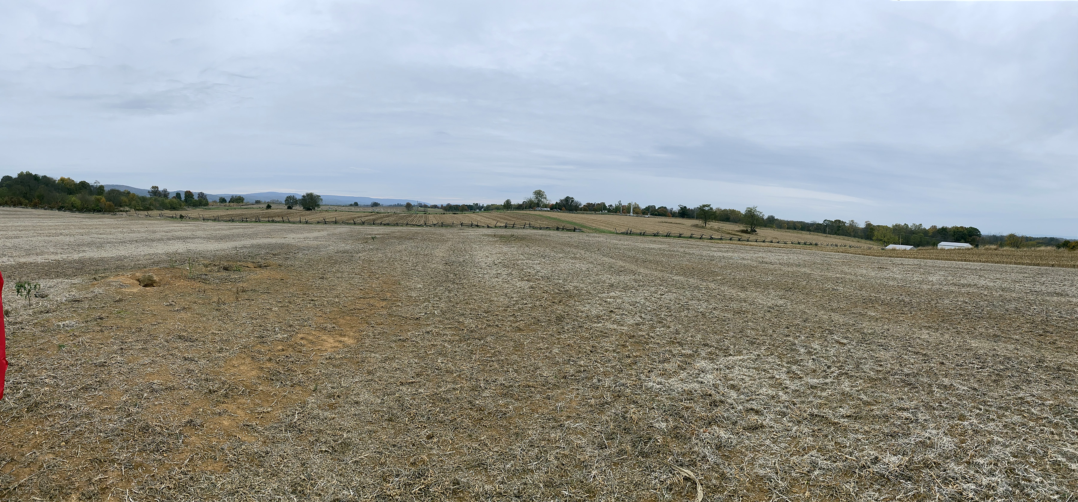
North of the Cornfield we hiked up to a couple of guns out in the middle of a open field and went through the rest of the XII Corps attack and Hood’s counterattack. Then to the Philadelphia Brigade Park to discuss actions in the West Woods. (By the way, Tom told us that East, North, and West Woods are military names, not used by the locals.) We talked a bit about Sumner’s lousy leadership here, but then took an unexpected turn when we crossed over the 65 Bypass road and marched up to Hauser’s Ridge, which is how far west Sedgwick’s division got before being flanked and routed by Walker and McLaws. There are a couple of dilapidated metal buildings there, which the Park Service hopes to demolish someday and set up interpretation. Tom said the park superintendent was not even aware until recently that the park boundaries extended that far. There is also the foundation of the Alfred Poffenberger barn.


Dinner was in Sharpsburg at Captain Bender’s Tavern, which is a lively bar and grill with so-so food. Our table got an order of fried pickles and they were excellent, and which filled me enough that I didn’t eat more than a few bites of a lackluster sandwich and soggy fries. Back at the hotel about 9 p.m.

Sunday, October 27 — Antietam
Today’s forecast was for rain until noon and when I got up it was pouring. Heavy rain persisted on our drive to the battlefield, so I had my serious raincoat and an extra quilted shirt. Rather than rush outdoors, we spent about 30 minutes in the enclosed visitor center observation deck and discussed a variety of issues: The history of the Mumma family and the Brethren (Dunker) church. The VI Corps being sent to fortify the East Woods instead of applying pressure somewhere else. (Sumner was very concerned about a Confederate counterattack that never came.) Criticism that the federal didn’t move artillery onto the key ground that had been the objective of the morning’s attacks—the high ground where the visitor center is now. And the observation that the Confederates, despite being inferior in artillery technology and numbers, did a better job of massing artillery where it was most effective. And then, blue skies appeared early and we had great weather for the est of the day. It was actually quite warm in the afternoon.
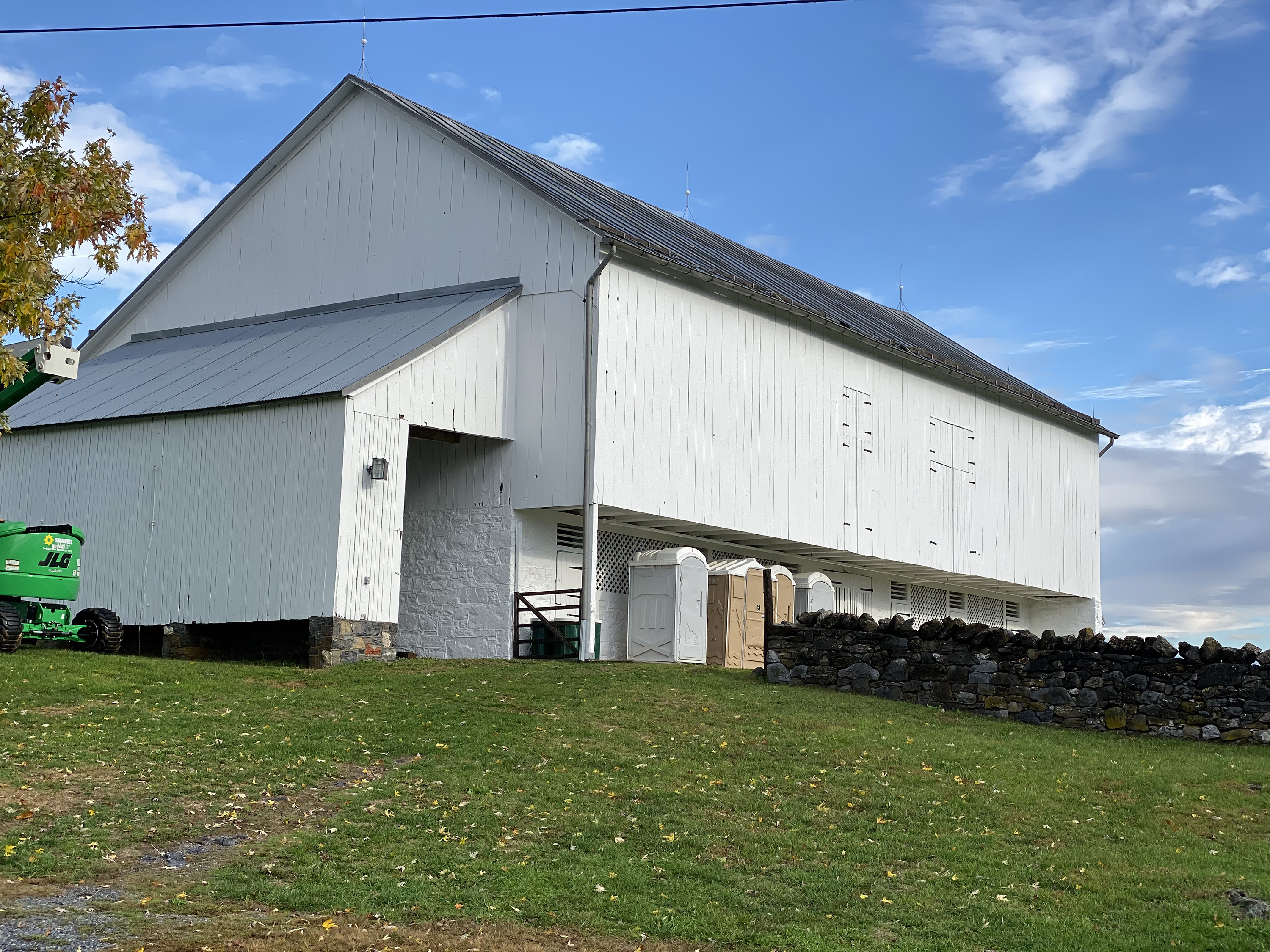
We started outside at the Mumma farm and discussed the separate paths of Sedgwick and French, noting that down in this lower terrain, the two divisions couldn’t see each other at all. The giant Mumma barn is undergoing a big restoration. We marched the Bloody Lane Trail to the Roulette Farm. As we ascended the hill toward the sunken road, following French, Scott remarked that the road was a really poor infantry position because they had very limited fields of fire; the Confederates should have occupied the military crest facing the enemy, but unfortunately then they would have been direct line of the Union’s heavy guns in the reserve artillery. French’s division actually had no artillery support in their attack. Their approach was up a steep hill from an elevation so low that you can’t even see the prominent observation tower from there.


We shifted over the follow Richardson’s division attack and had a lengthy treatise about the Irish Brigade (slaughtered in the assault) and the Irish situation in the US in general. In the sunken lane itself, we discussed the action there from the Confederate side and then broke for lunch. We returned to the Keedysville outdoor pavilion and had a nice fried chicken lunch, with red velvet whoopie pies!


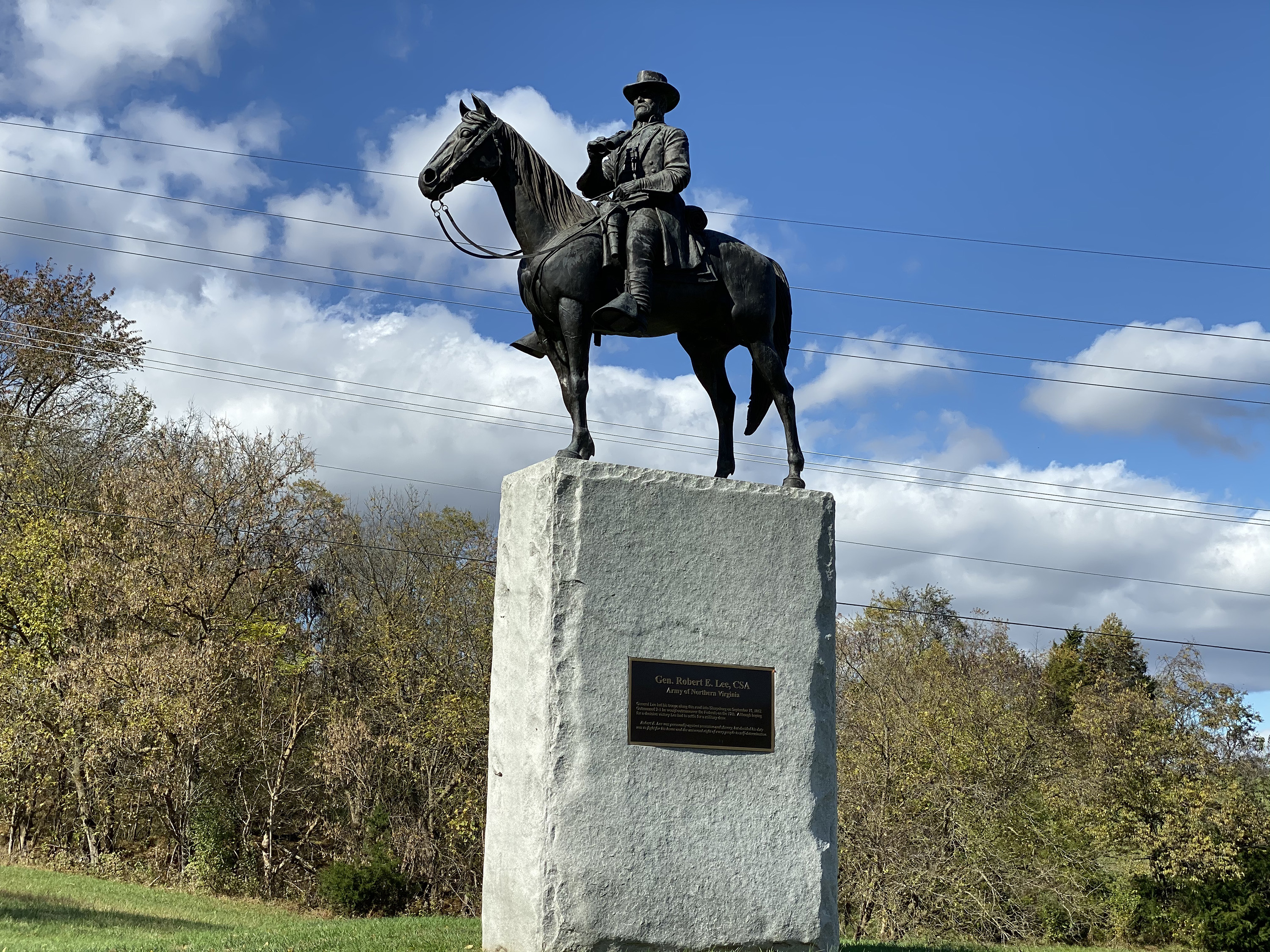
Next we drove to the Newcomer House, near the Middle Bridge. My friend Harry told me there is a small museum inside, but we didn’t go in. Outside is the controversial equestrian statue of Robert E. Lee, erected by a private citizen, but now on Park Service land. (A handsome statue, IMHO.) We hiked up a rather steep hill to the site of Tidball’s Battery (A/2 US) and discussed the advance of the V Corps onto the battlefield and how the US Regulars got close to taking Sharpsburg before being recalled. This was an area I had never explored. The views of Cemetery Hill In the distance are excellent. Scott busted the myth that Porter had told McClellan his was the “last reserve of the last army of the republic.”


We made a very brief stop to see the extent of Burnside’s battle line after he crossed the bridge, but then headed to the bridge itself. Scott recounted the series of three attempts to cross and also unpacked the controversies about when Burnside received his orders to move. (He said it was probably 10 a.m.) Then we headed west on a trail marked #8, which is a portion of the very extensive Last Attack Trail, and stopped at Rodman’s position after he had crossed Snavely’s Ford. We discussed the events of Burnside’s advance and A. P. Hill arriving from Harpers Ferry, but it was disappointing we could not hike more of this. Our final stop was the national cemetery for the traditional wrap up session.


This was an outstanding weekend, featuring a number of places I had never visited before, and ranks as my new #1 Antietam experience. Kudos to Scott and Tom. It probably could/should have been a 2.5- or 3-day. It would also have been better to HQ in Hagerstown or Shepherdstown to cut down on 45-minute drive from Frederick.
Monday, October 28 — Home
I took an early morning United flight from Dulles to San Francisco. To my annoyance, PG&E had turned off the power to our entire neighborhood (as well as to about one million other Northern Californians) because of high winds that threaten to create wildfires. It had been out since Saturday night and was not restored until Tuesday afternoon.